
Expertise Tailored to Your Sector
Find Your Industry Solution
-
Construction
-

Real State
-
Energy & Utilities


-

Oil & Gas
-

Agriculture
-

Municipal & Government


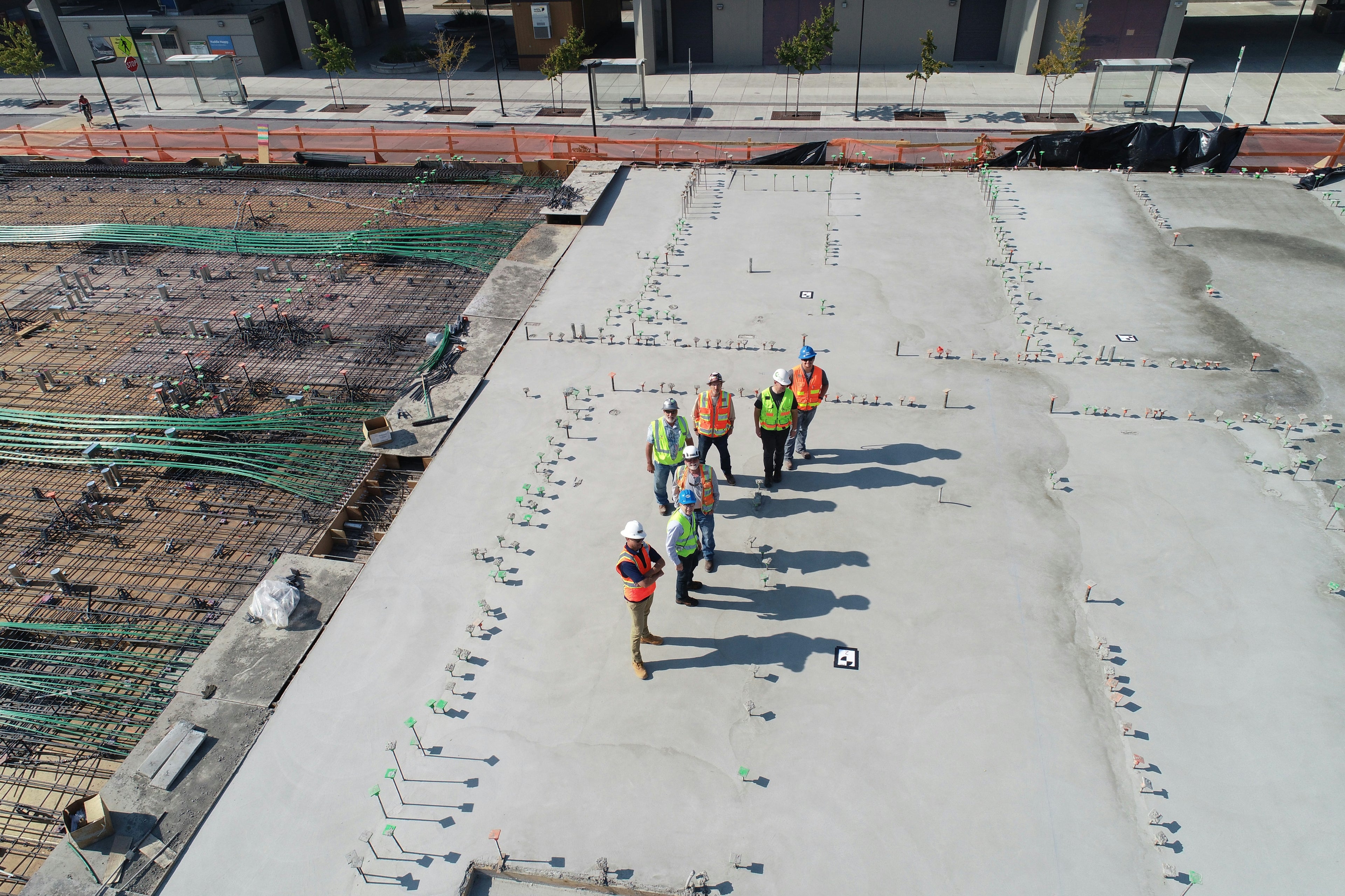
Construction & Engineering
Monitor progress, ensure safety, and stay on budget with high-resolution aerial data. We provide construction firms and engineers with the critical insights needed to manage complex projects from groundbreaking to completion.

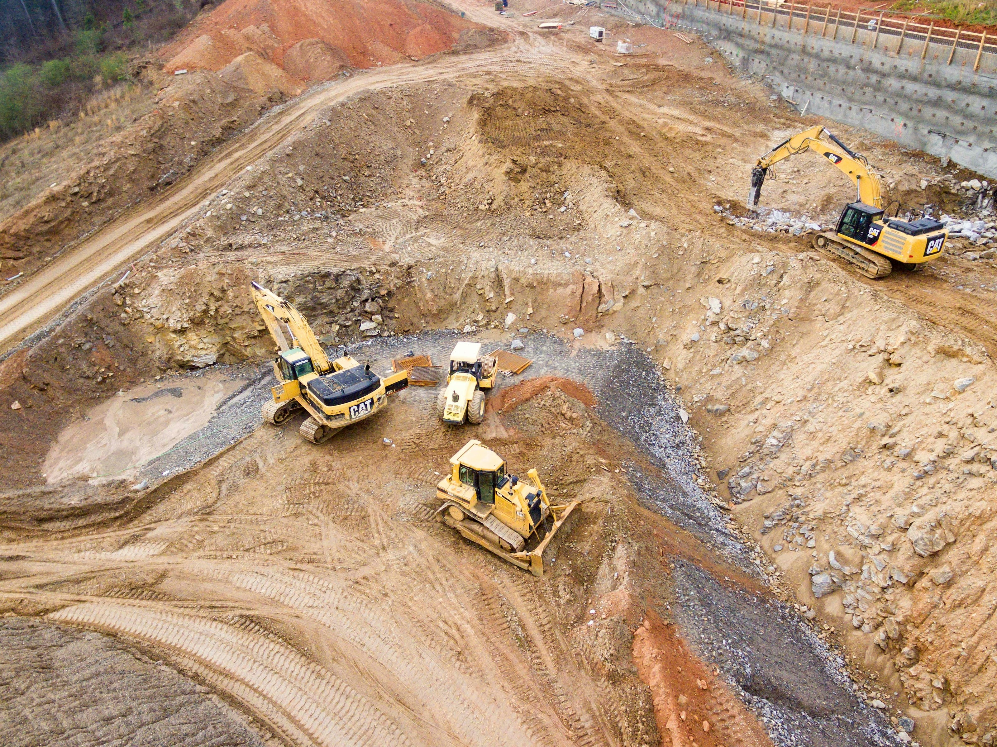
Real Estate & Development
Elevate your property listings and attract more buyers with compelling aerial imagery. For developers, we provide essential survey data to visualize and plan your next project with confidence.
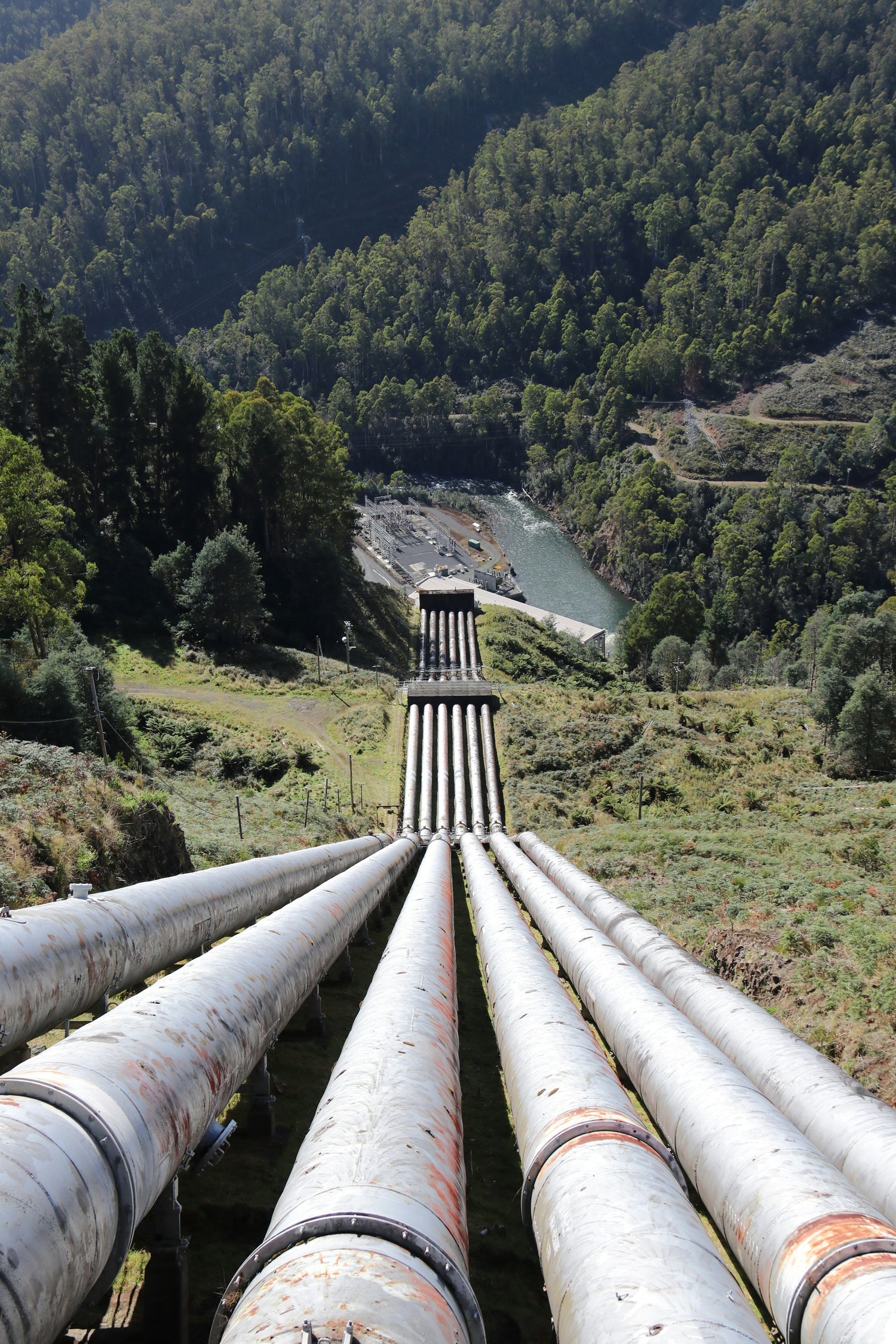
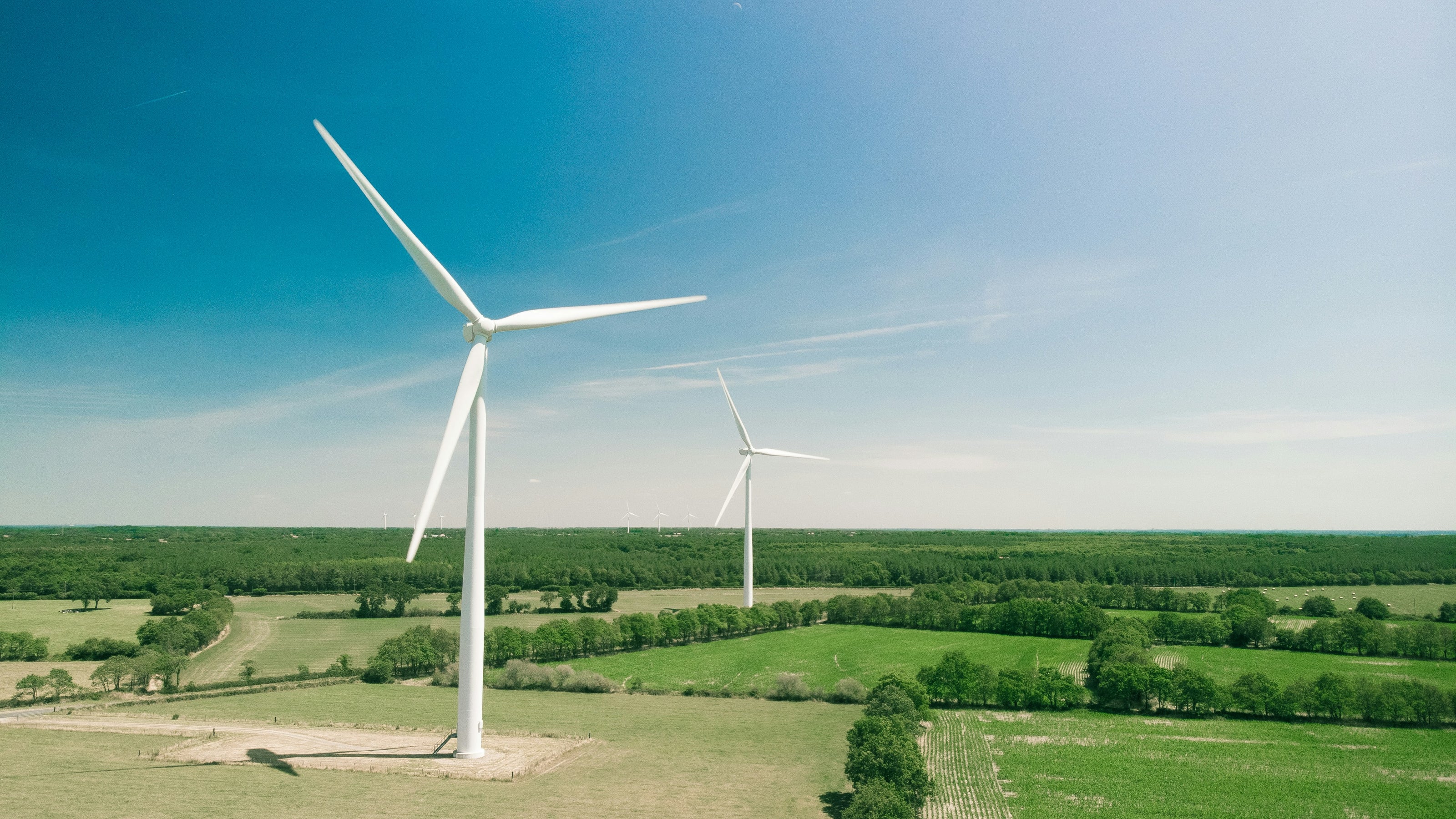
Energy & utilities
Safely and efficiently inspect your energy infrastructure to ensure reliability and prevent outages. Our drones can access difficult-to-reach assets, providing detailed data for proactive maintenance.
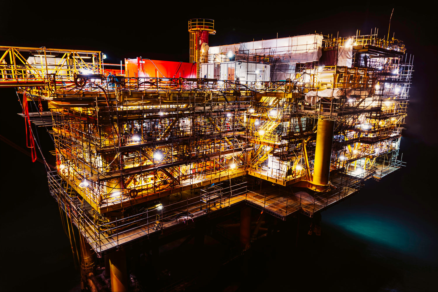
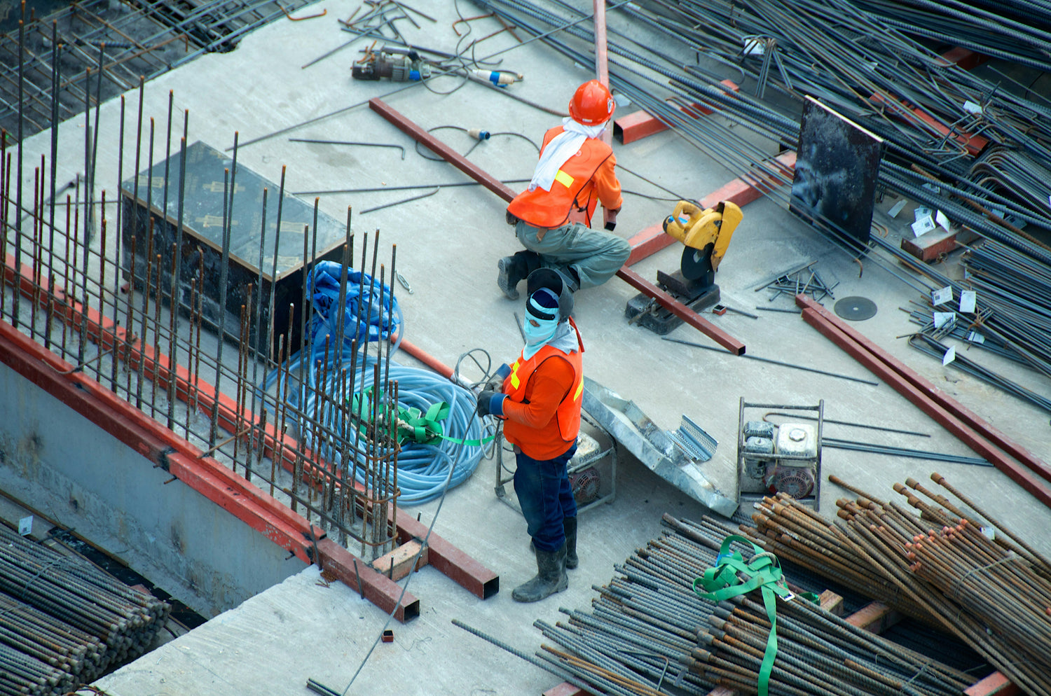
Oil & Gas
Enhance safety and operational efficiency with our drone inspection solutions for the Oil & Gas industry. We provide critical data for asset integrity management while minimizing risk to personnel.
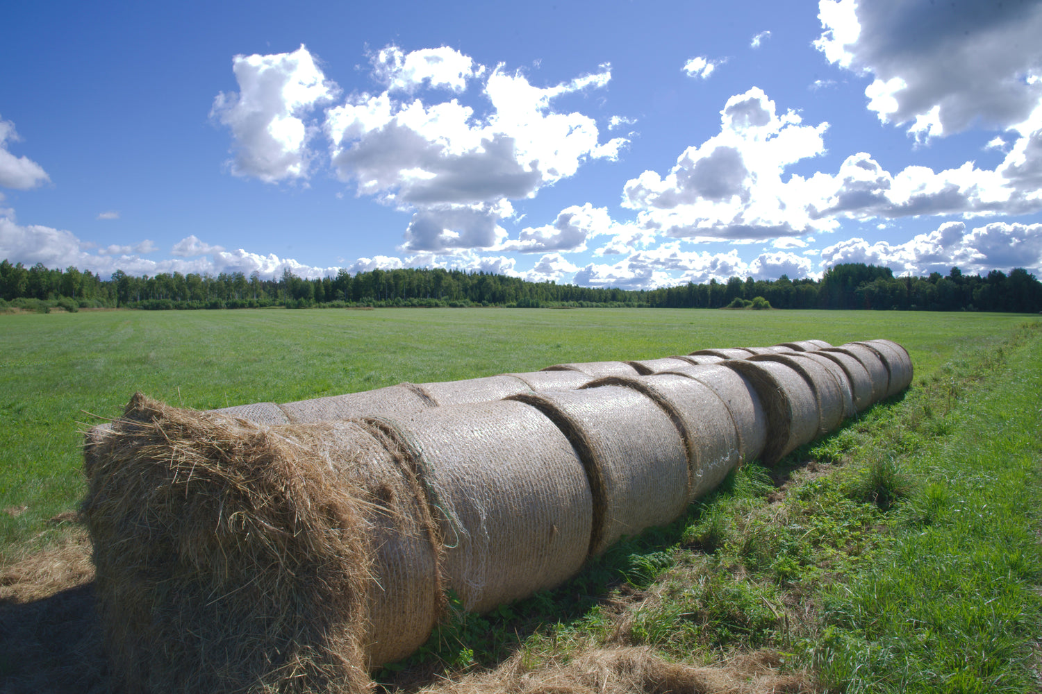
Agriculture
Effective farm management starts with a clear and accurate view of your land. Our high-resolution drone mapping services are an essential tool for modern agriculture, providing a detailed, bird's-eye perspective of your entire operation. We deliver precise topographic maps to help you analyze water flow and plan drainage solutions. Use our data to accurately measure field acreage for crop insurance or chemical applications, and to create a detailed inventory of your farm's infrastructure, including roads and fences. This provides a powerful, data-rich foundation for optimizing your land and making smarter operational decisions.

Municipal & Government
Support public works, infrastructure management, and emergency services with accurate and timely aerial data. We provide government agencies with a cost-effective tool for mapping and monitoring public assets.