Expert Drone Solutions Backed by Precision and Compliance
Drone Mapping
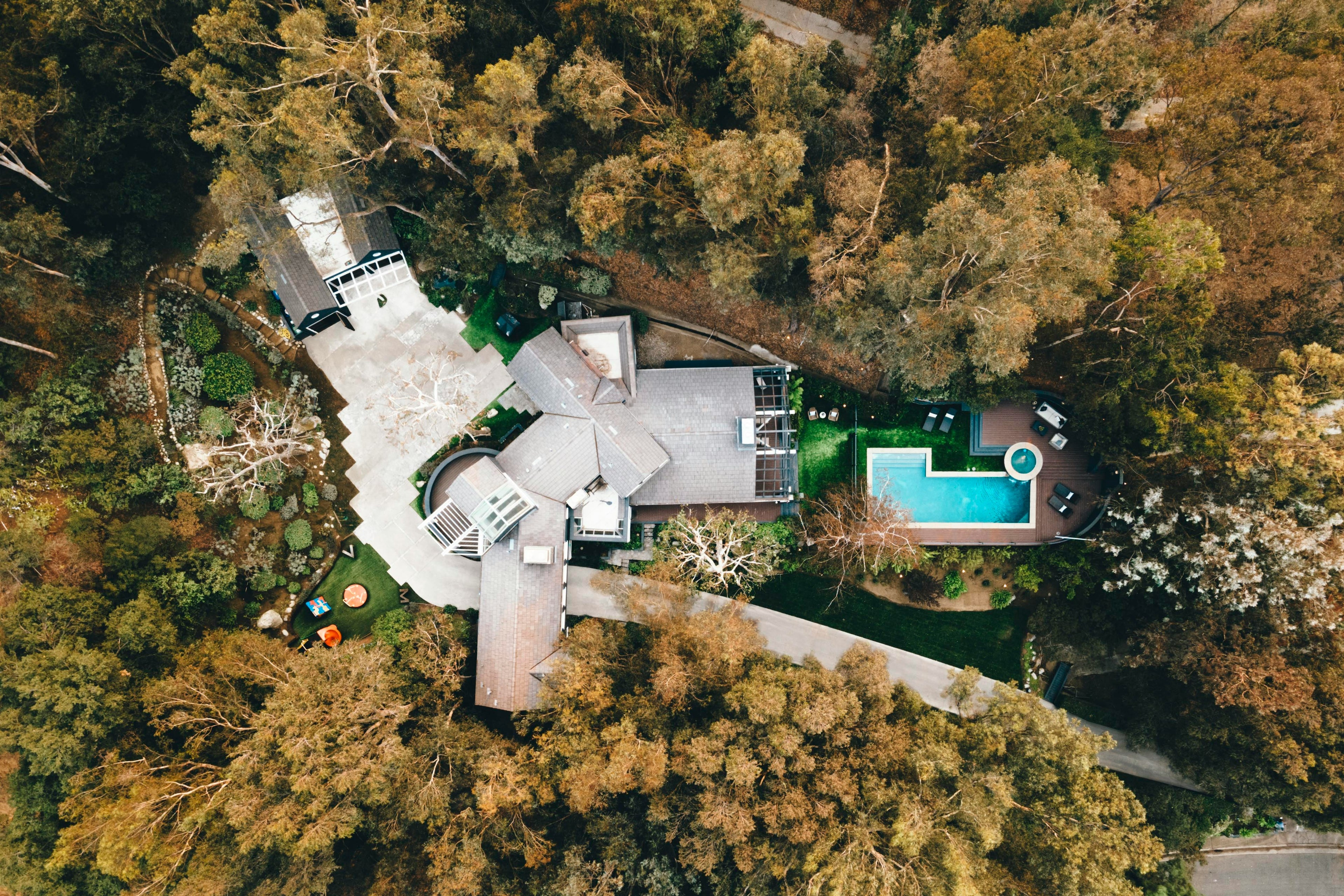
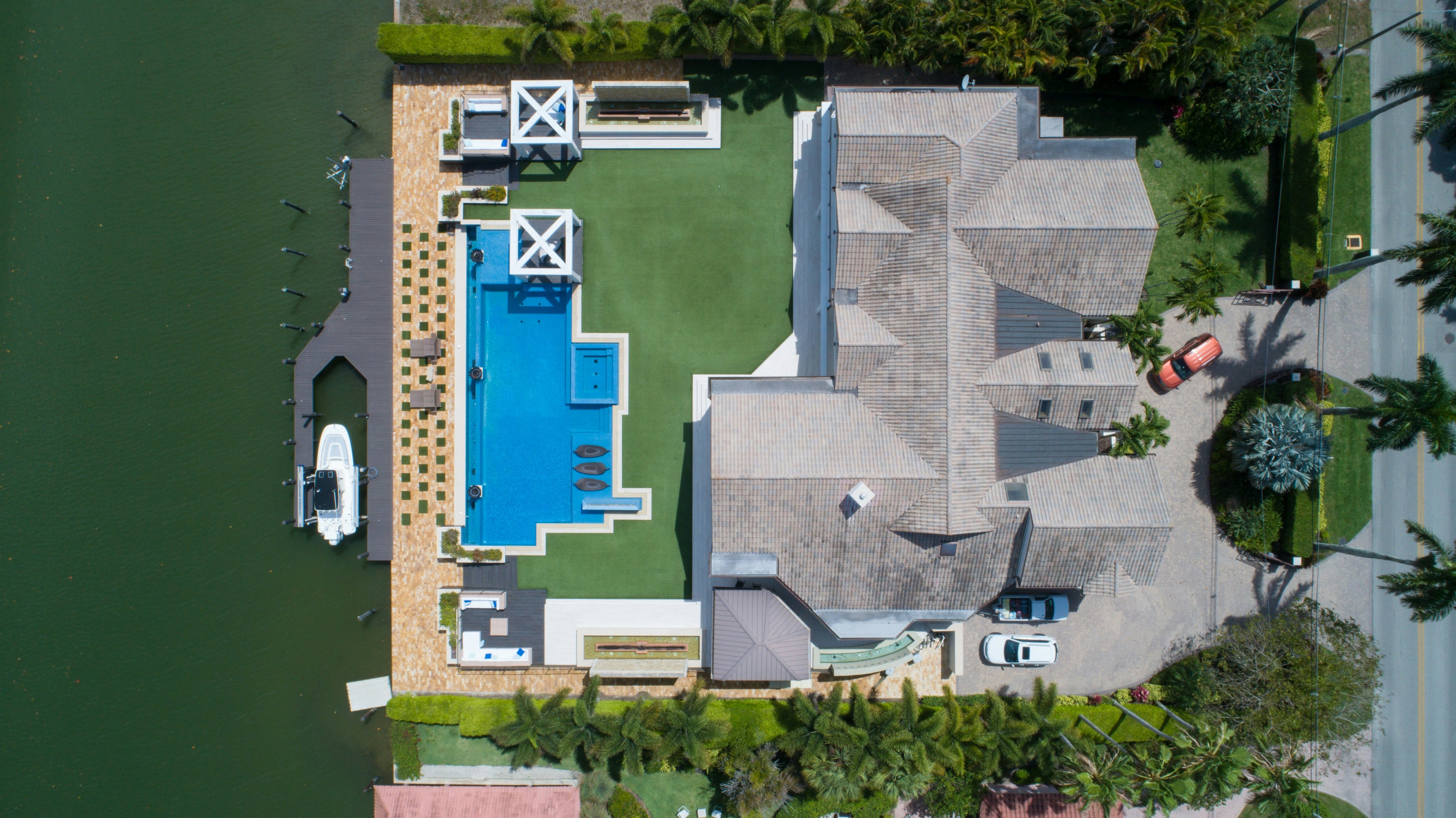
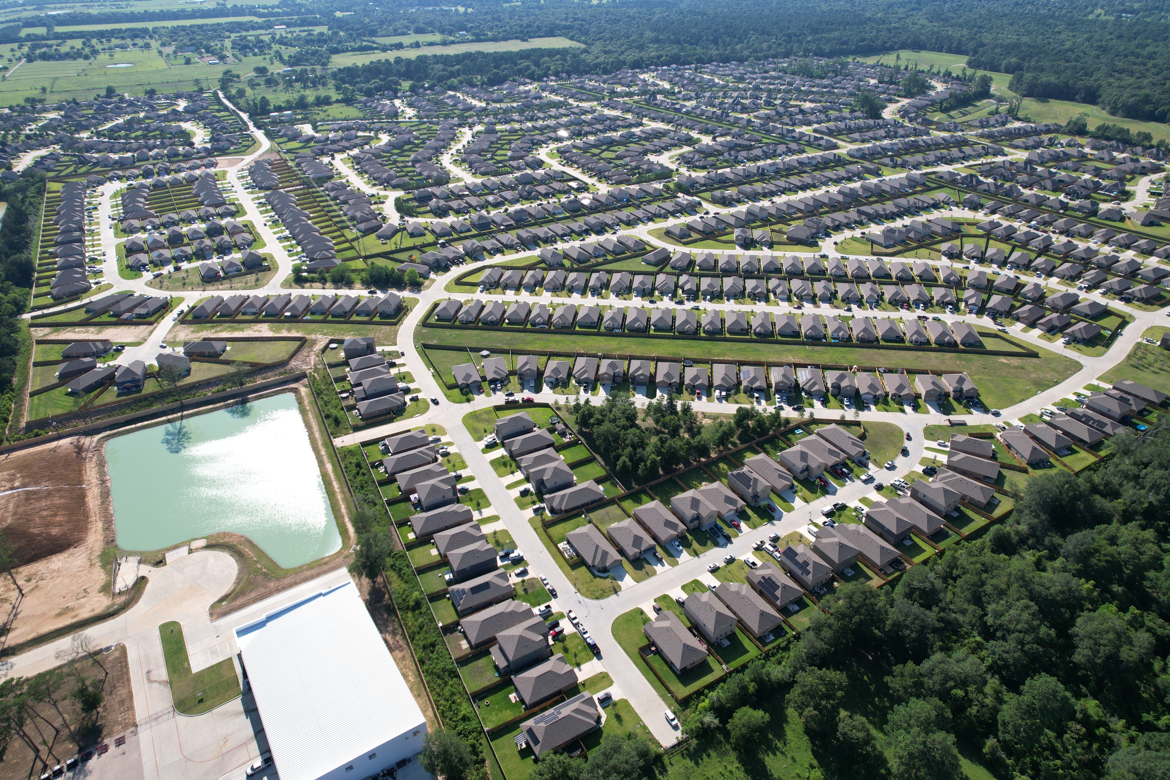
Accurate, high-resolution aerial maps for construction, land development, and infrastructure planning. Our drone mapping solutions deliver precise topographic data, 3D models, and orthomosaics to help you visualize every inch of your project.
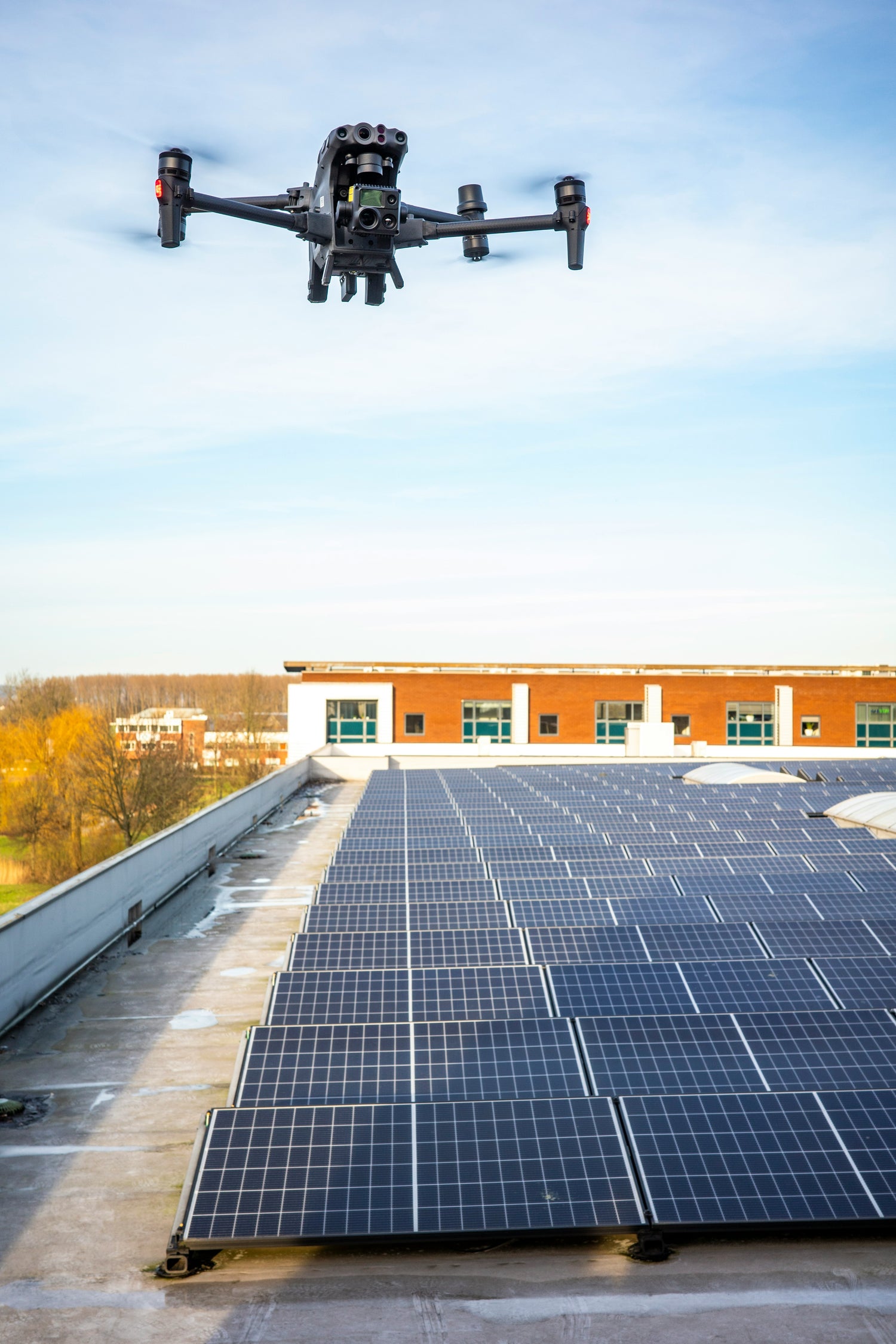
Inspections
Fast, safe, and detailed drone inspections for roofs, towers, pipelines, and industrial sites. We use thermal imaging, zoom cameras, and FAA Part 107-certified pilots to capture the critical data you need—without putting workers at risk.